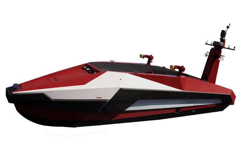
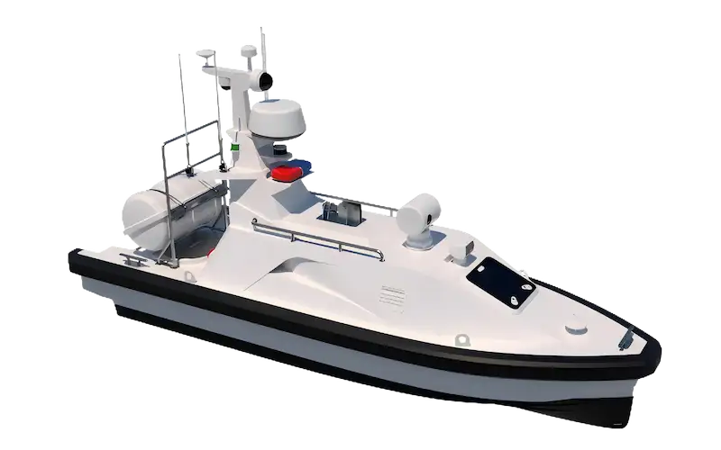
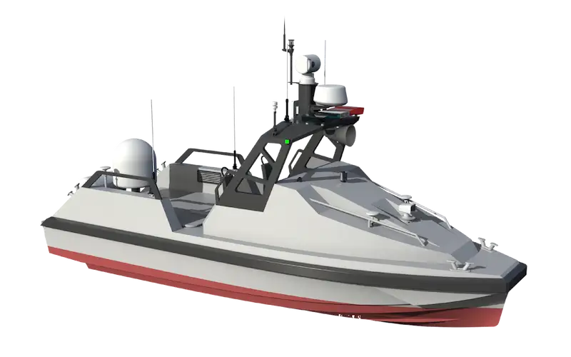
Unmannaed Surface Vessel (USV) Dedicated For Marine Hydrographic And Geophysical Surveys.
L25 USV At A Glance
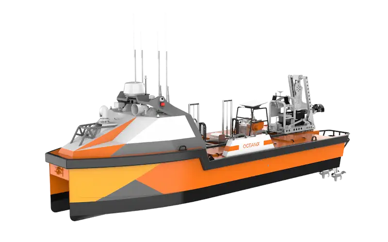
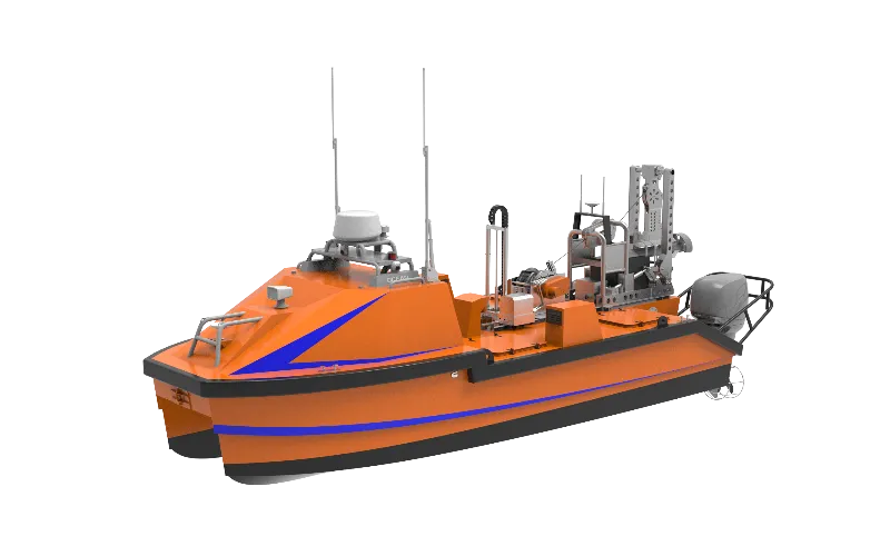
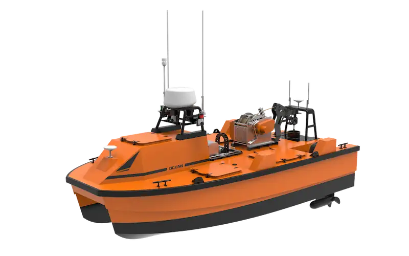
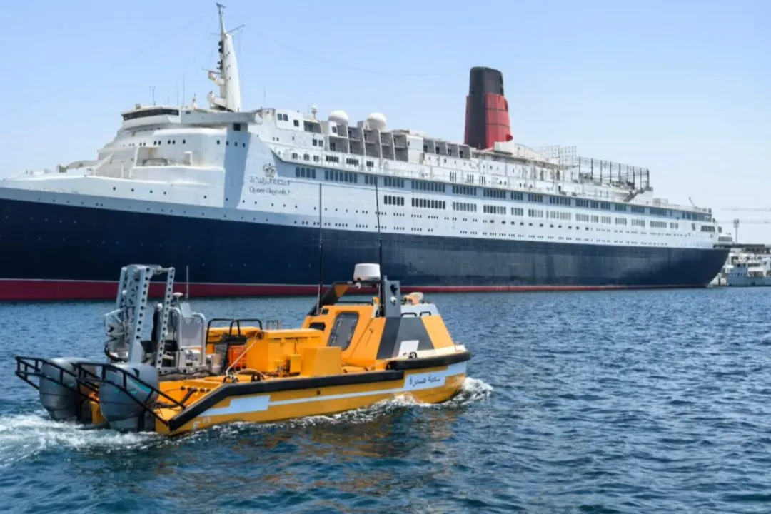
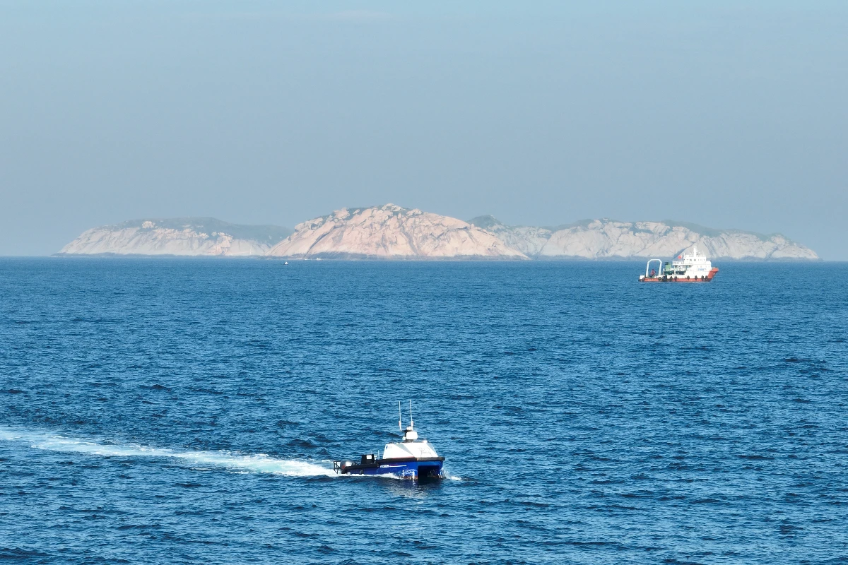
The L25 unmanned surface vessel (USV) is OceanAlpha’s flagship product with extensive field-proven experiences. It’s designed for hydrographic and geophysical surveys, offering comprehensive data collection for pre- and post-installation, site investigation, pipeline inspection, and seabed characterization, which are essential for offshore construction and maintenance.
Balanced Performance: High-Speed Agility & Extended Range
The L25 integrates 2 independent diesel outboard engines and a 3.5KW diesel generator, delivering 10kn high-speed capability with superior operational performance even in Sea State 3.
Its endurance is expandable to 130h@4kn with two additional 50L fuel tanks, ensures uninterrupted long-range operations.
Practical Combo: Deck Gear for Most Missions
The L25 integrates a towing system for towfish deployment and a mid-hull auto-lifter—a streamlined combo that meets operational needs for most users.
The tow system enables autonomous towfish deployment, while the auto-lifter safeguards instrument wet ends and expands payload capacity.
Outstanding Payload Capacity
With multiple mounting positions and deck gears, the L25 unmanned vessel can carry 2-4 wet-end payloads simultaneously.
Integrated Multi-Network Communication
The communication system can integrate four networks, which supports both daily and emergency communications. satellite communication is optional for safer long-distance operations.
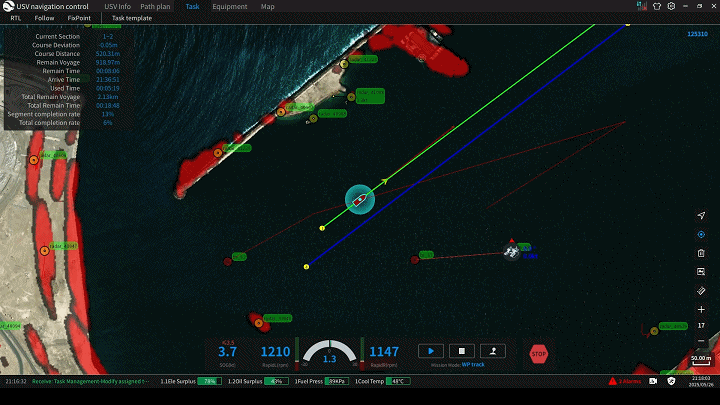
Autonomous Control with High Precision
Radar, HD camera and AIS sensing enabling highly sensitive environmental perception.
Autonomous navigation algorithm, advanced obstacle avoidance algorithm and propulsion control algorithm applied to minimize risk of collision.
Solution
Offshore Energy
High-Precision, Efficient, and Low-Risk Marine Survey Solutions for Full Lifecycle Offshore Energy Management.
Solution
Marine Survey
High-Precision, Efficient, and Low-Risk Marine Survey Solutions for Full Lifecycle Offshore Energy Management.
/
/
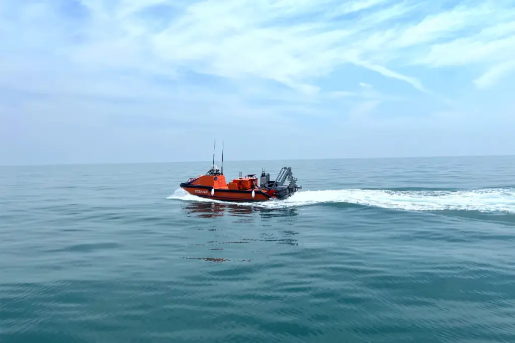
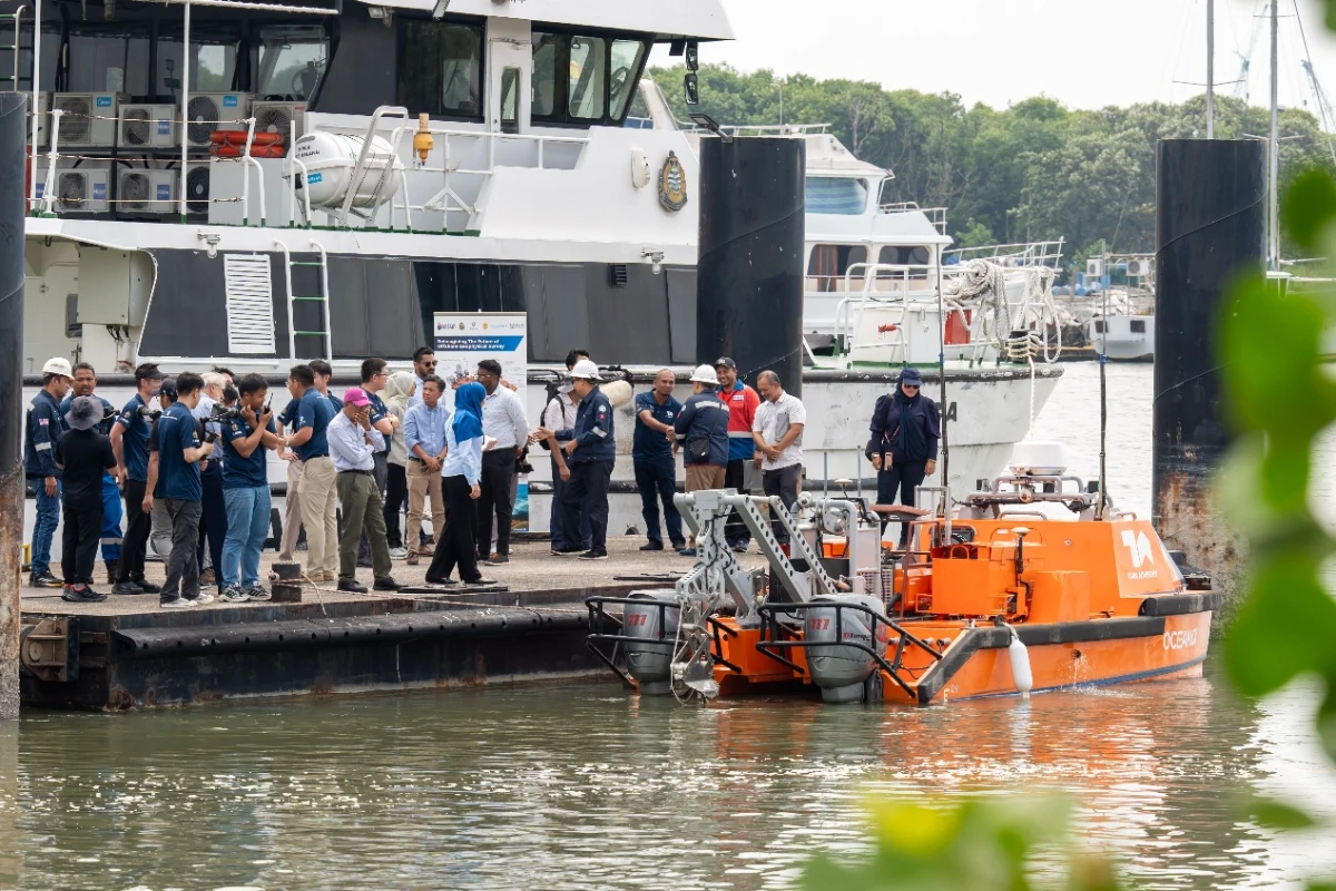
L25 USV Fleet Conducts Coordinated Survey Off Guangdong-Hong Kong-Macao Greater Bay Area
It is the first time to use multiple USVs cooperative survey in offshore basic survey projects in China. The survey project acquired 2,728 square kilometers of offshore seabed topography data in the Greater Bay Area.
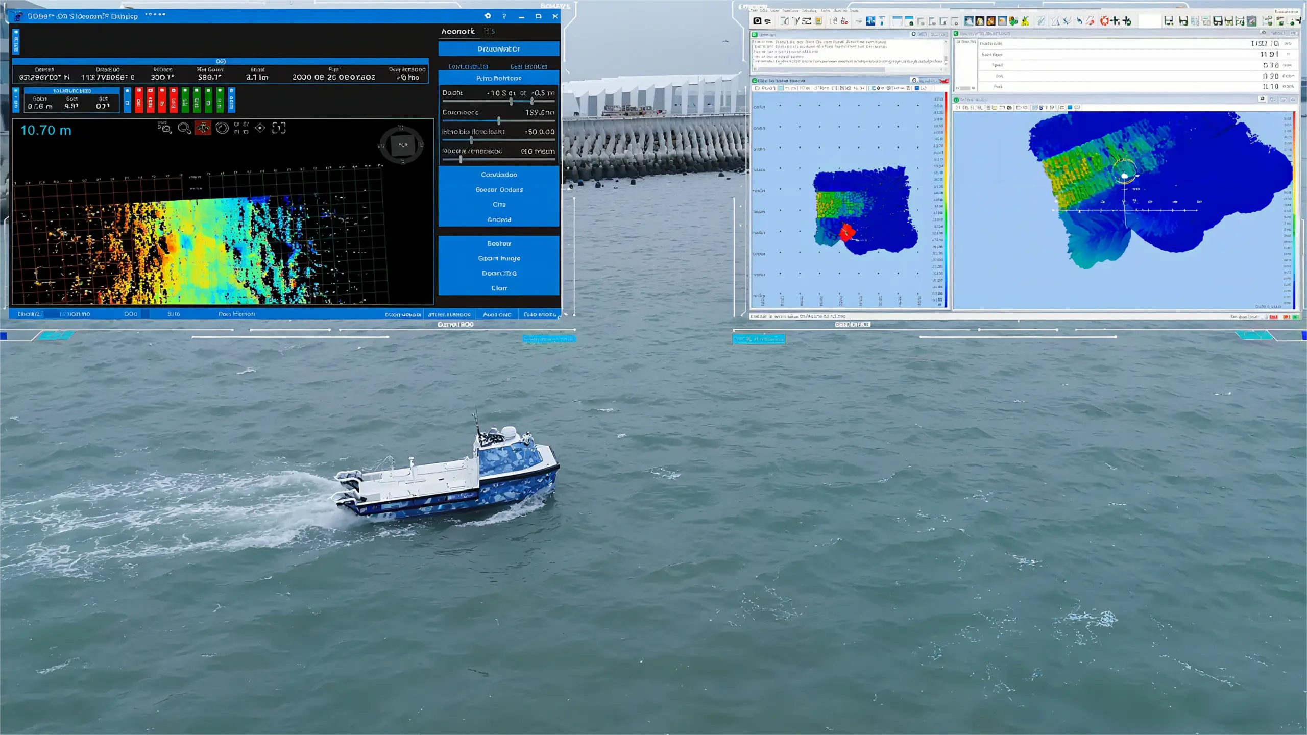
OceanAlpha deployed an L25 USV equipped with 3D scanning sonar and a sub-bottom profiler. The USV was remotely controlled from headquarters and tasked with surveying a shallow landing zone near a pipeline.