

Date: 18 December 2019
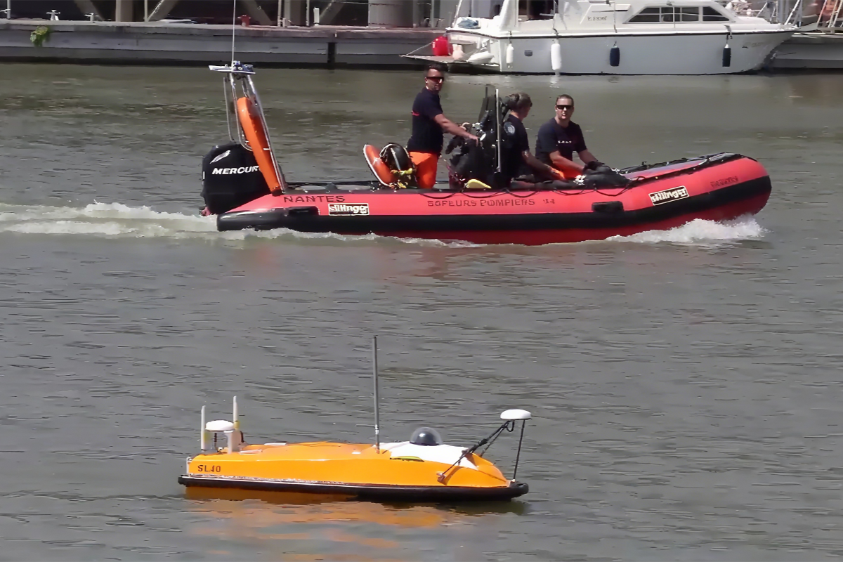
Location: Loire-Atlantique River, France
Background
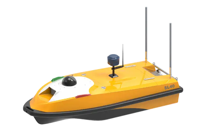
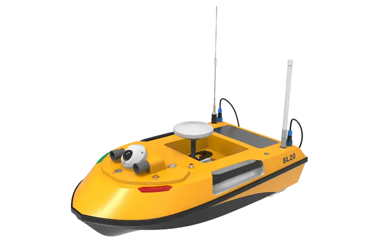
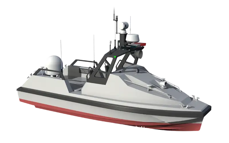
To address the growing demand for miniaturized and intelligent surveying solutions for rivers, lakes, and reservoirs, OceanAlpha developed an integrated above-water and underwater survey system based on its compact SL40 Unmanned Surface Vessel (USV) platform. This solution combines advanced sensors with the SL40 USV to enable efficient, synchronized data collection for both submerged and surface environments.
Equipment
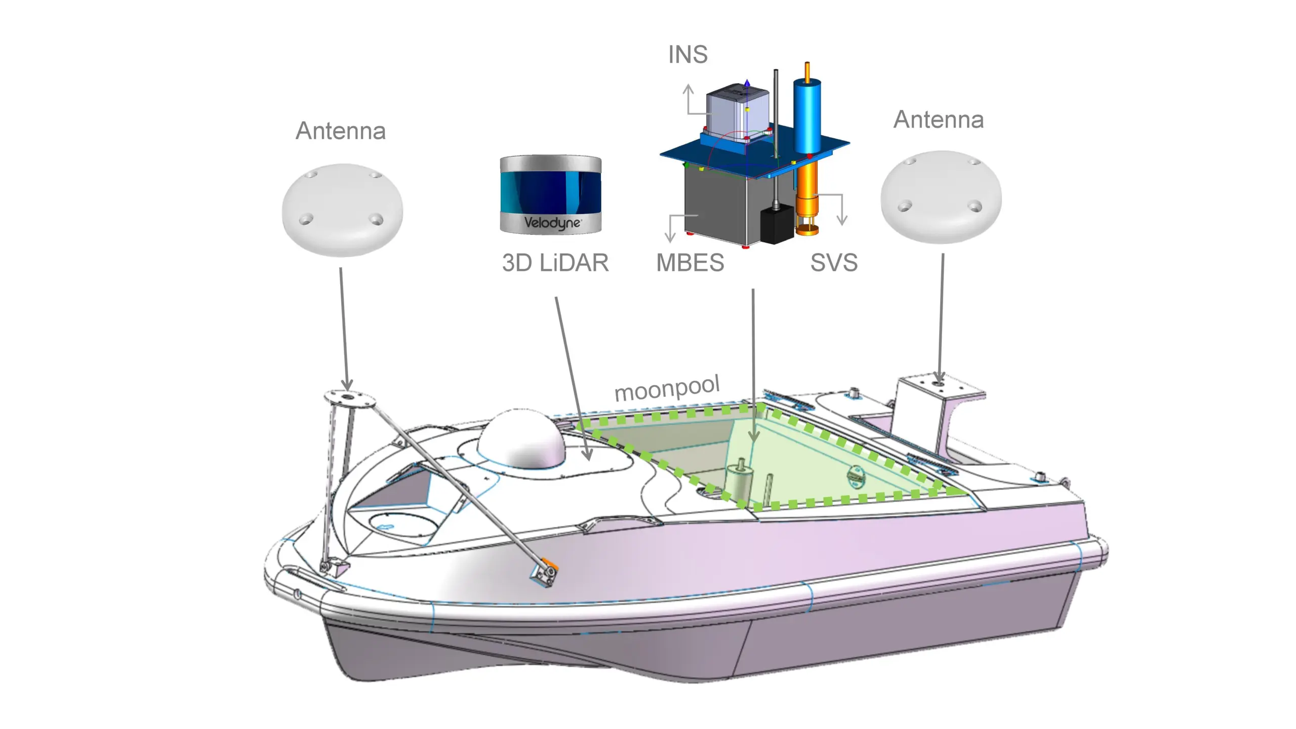
The SL40 USV was equipped with a multi-sensor package, including:
- Multibeam Sonar (MBES) – R2Sonic LLC 2020 model for high-resolution underwater terrain mapping
- 3D LiDAR – Velodyne VLP-16 for above-water structural scanning
- Inertial Navigation System (INS) – SBG Systems Ekinox D for precise positioning
- Sound Velocity Sensor (SVS) – Valeport MiniSVS for accurate sonar data calibration
This compact yet powerful sensor suite was seamlessly integrated into the USV platform, overcoming the challenge of deploying multiple high-precision instruments on a small vessel.
Solution
OceanAlpha engineered a highly compatible payload configuration for the SL40 USV, ensuring optimal performance of all sensors:
- MBES, INS, and SVS were integrated into the moonpool for stable underwater data collection
- Dual navigation antennas were mounted on the bow and stern for enhanced positioning accuracy
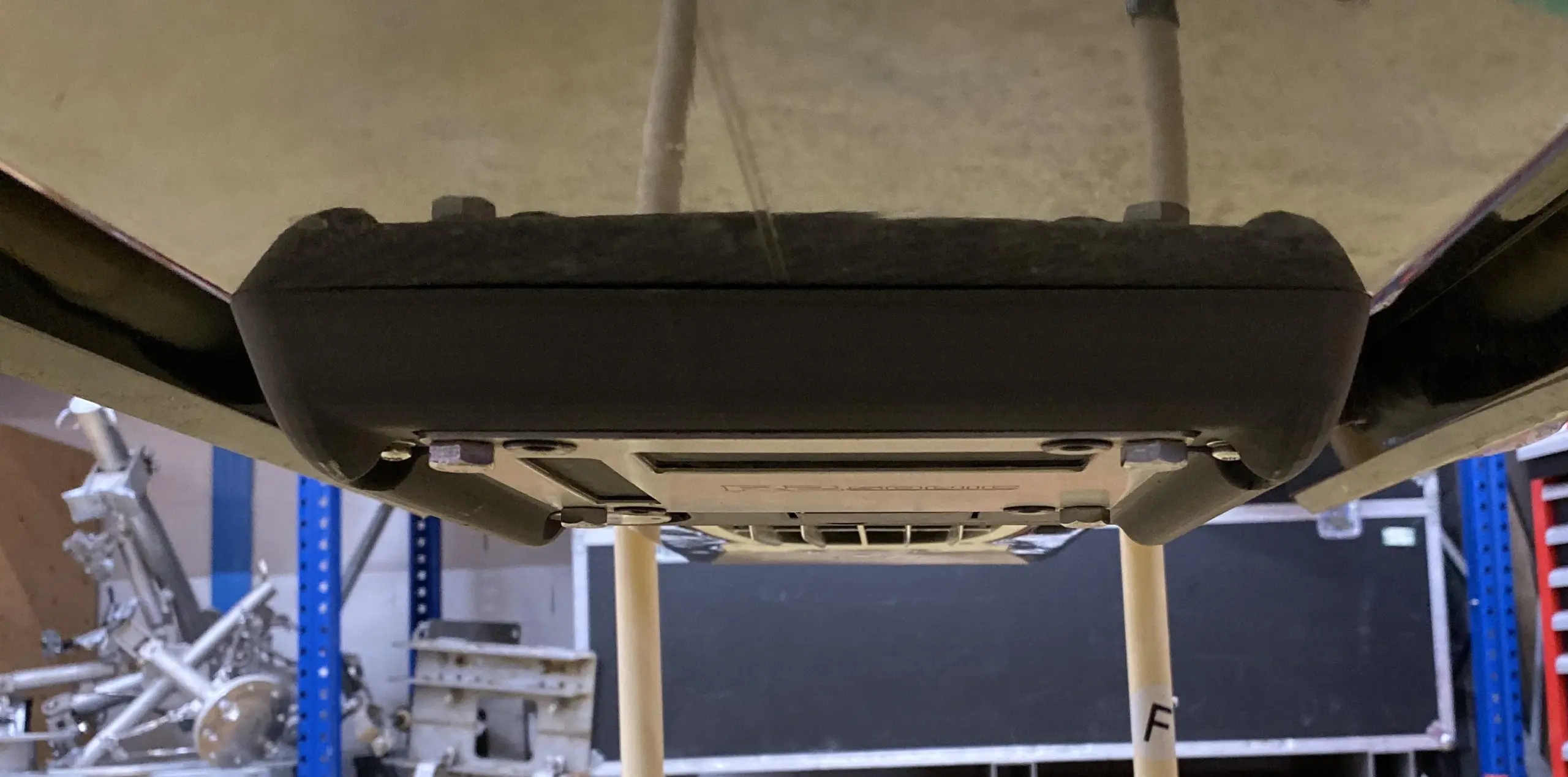
- 3D LiDAR was mounted 15cm behind the camera using a 3D-printed stand for unobstructed above-water scanning
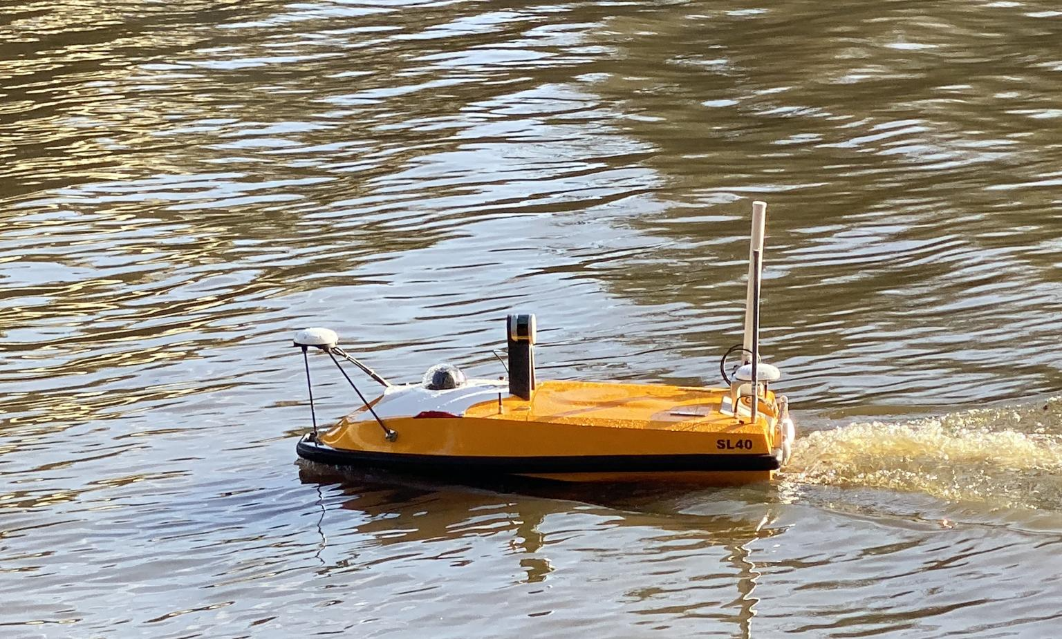
The USV followed a pre-set route from the ground control station, conducting simultaneous underwater and above-water surveys at a designated location in the Loire-Atlantique River.
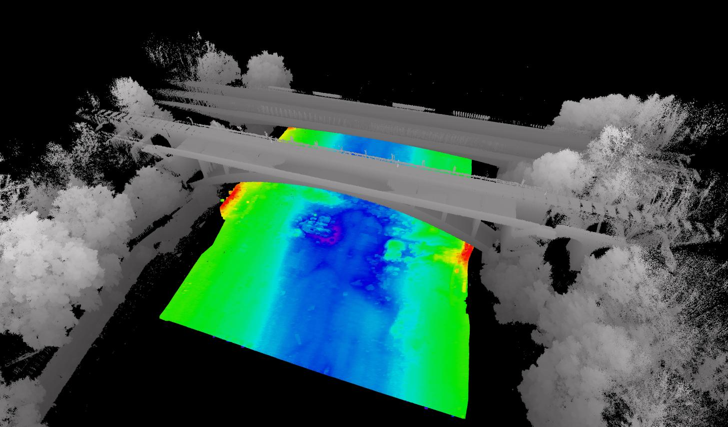
Results
The SL40 USV successfully captured:
- High-resolution 3D data of a bridge structure
- Detailed underwater terrain mapping
- Precise bank and shoreline imaging
The field test demonstrated the SL40 USV’s exceptional stability as a multi-sensor platform, delivering clear underwater maps and accurate 3D above-water imagery in a single deployment.
Key Benefits:
Compact yet capable – Small USV platform with multi-sensor integration
Efficient surveying – Simultaneous underwater and surface data collection
Proven performance – Delivered high-quality results in real-world conditions