
Date: June 2020
Location: West Artificial Island & Immersed Tube Tunnel Area, Hong Kong-Zhuhai-Macao Bridge
Project Background
The Hong Kong-Zhuhai-Macao Bridge, the world’s longest sea-crossing bridge (42km sea section, 35.578km undersea tunnel), presents significant challenges for long-term inspection and maintenance. Traditional manual methods are both dangerous and inefficient, creating a clear need for autonomous unmanned technology to enhance operational safety and efficiency.
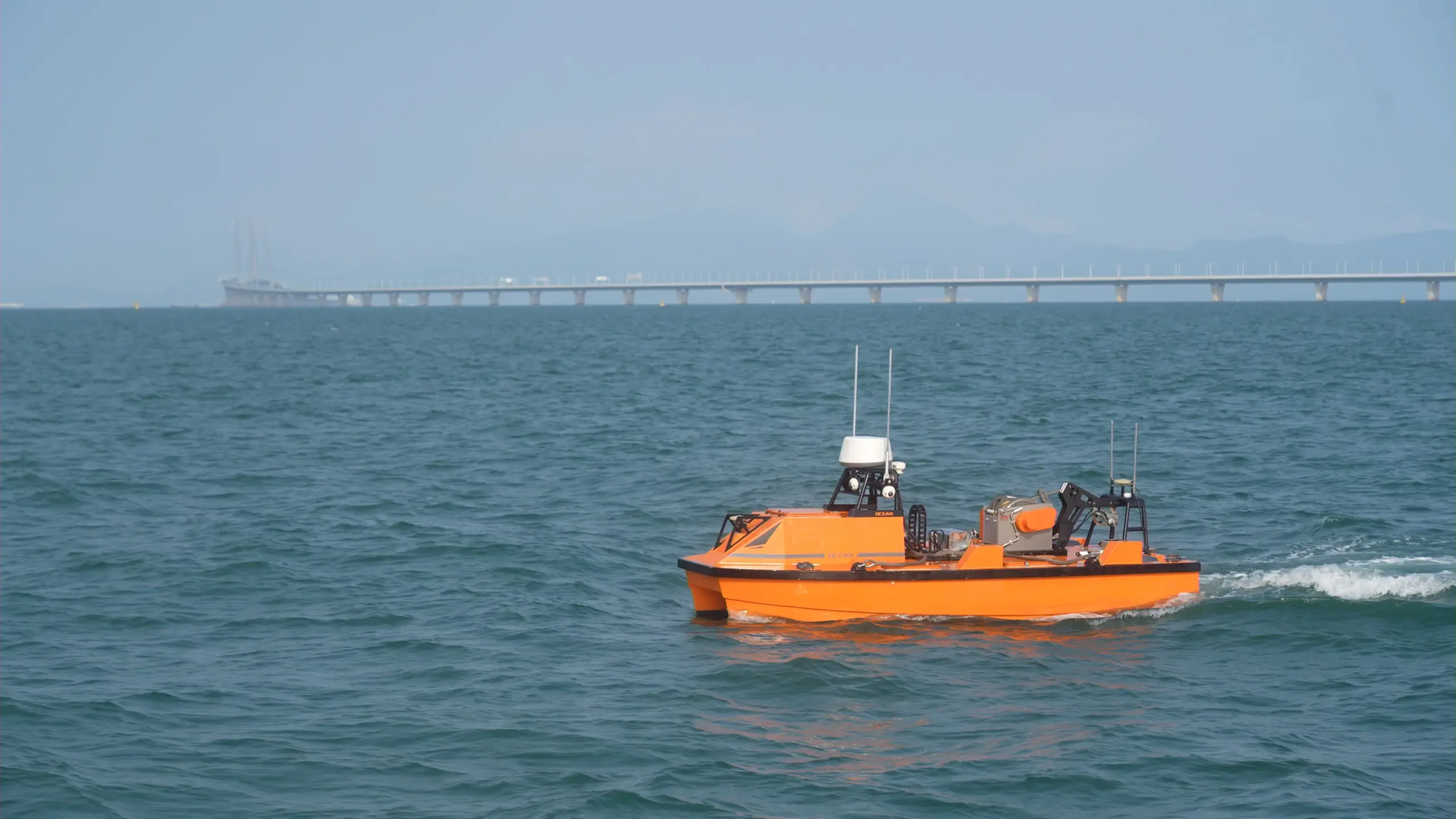
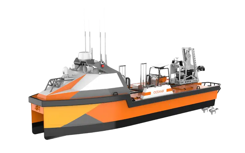
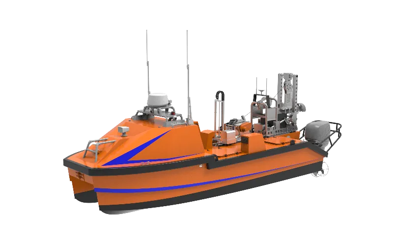
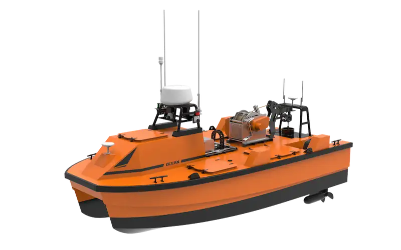
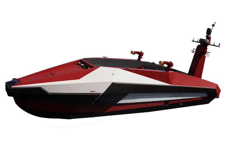
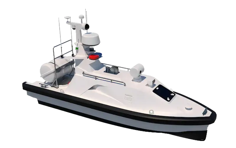
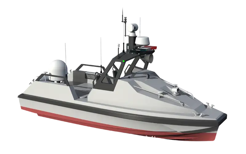
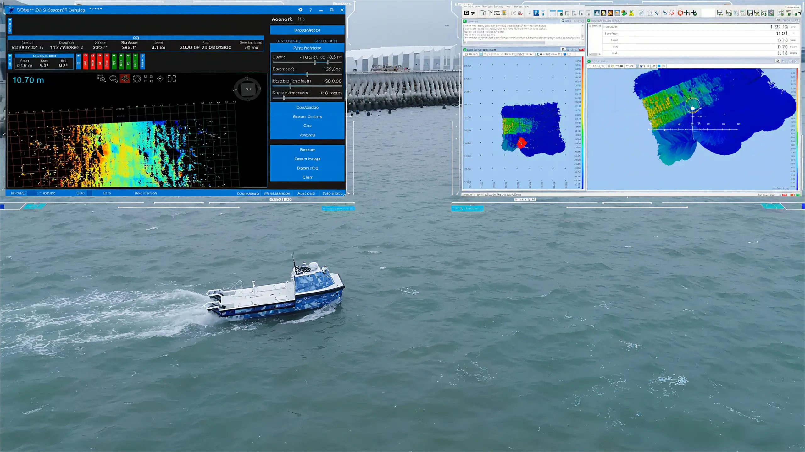
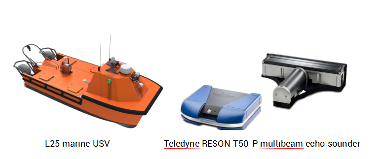
OceanAlpha’s L25 USV (Unmanned Surface Vessel) was deployed to conduct multibeam mapping of critical underwater infrastructure areas.
Survey Equipment
- USV Platform: OceanAlpha L25 Marine USV
- Sonar System: Teledyne RESON T50-P Multibeam Echo Sounder
- Navigation Standards: Compliant with GBT 12763.10-2007 and GB 12327-1998 survey specifications
Survey Execution
The L25 USV was tasked with mapping two critical areas:
- 500m × 200m zone above the immersed tube tunnel at the Zhuhai end
- 100m perimeter zone around the West Artificial Island
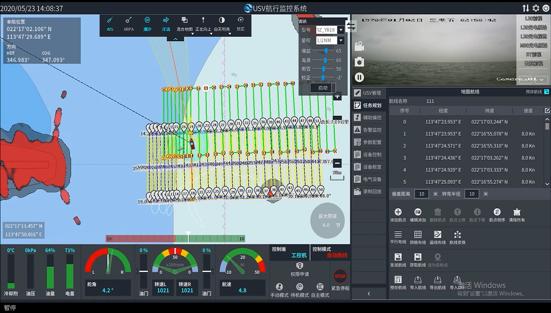
After 20 kilometers of autonomous navigation, the L25 USV arrived at the operation area. Survey technicians established waypoint lines following strict industry standards:
- Main waypoint lines aligned with the target area’s overall direction
- Minimum 10% overlap between adjacent sweeps
- Minimum 5% contact waypoint line relative to mainline length
Data Collection & Monitoring
The L25 USV successfully captured high-density point cloud data of underwater terrains, providing critical information for:
- Structural sedimentation analysis
- Deformation monitoring
- Back siltation assessment
Remote Monitoring Capabilities:
Users maintained constant oversight through specialized software, enabling real-time monitoring of the USV’s navigation status throughout the operation.
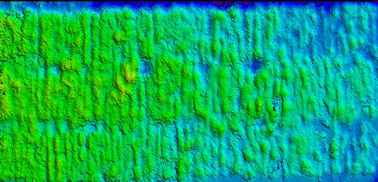
Part of water depth data
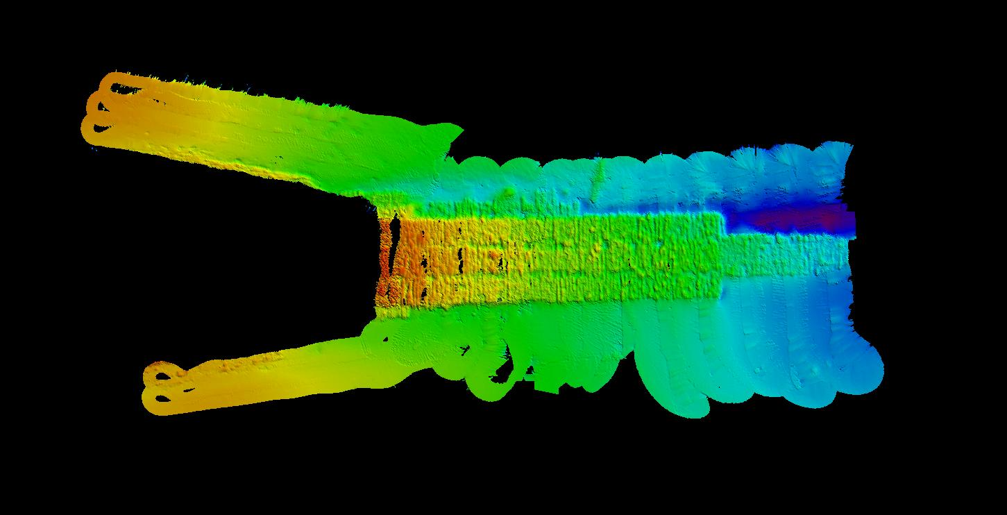
Multi-beam underwater topographic map
Project Benefits & Conclusion
The application of USV-based autonomous technology delivered significant advantages:
- Enhanced operational efficiency through automated survey execution
- Improved personnel safety by eliminating underwater manual inspections
- Intelligent monitoring capabilities with programmable periodic tasks
- Data consistency through repeatable survey paths using identical equipment
- Enhanced traceability with continuous, comparable historical datasets
This case demonstrates how marine USV technology can revolutionize infrastructure maintenance for critical maritime structures like the Hong Kong-Zhuhai-Macao Bridge, providing more reliable, continuous, and safer monitoring solutions than traditional manned operations.